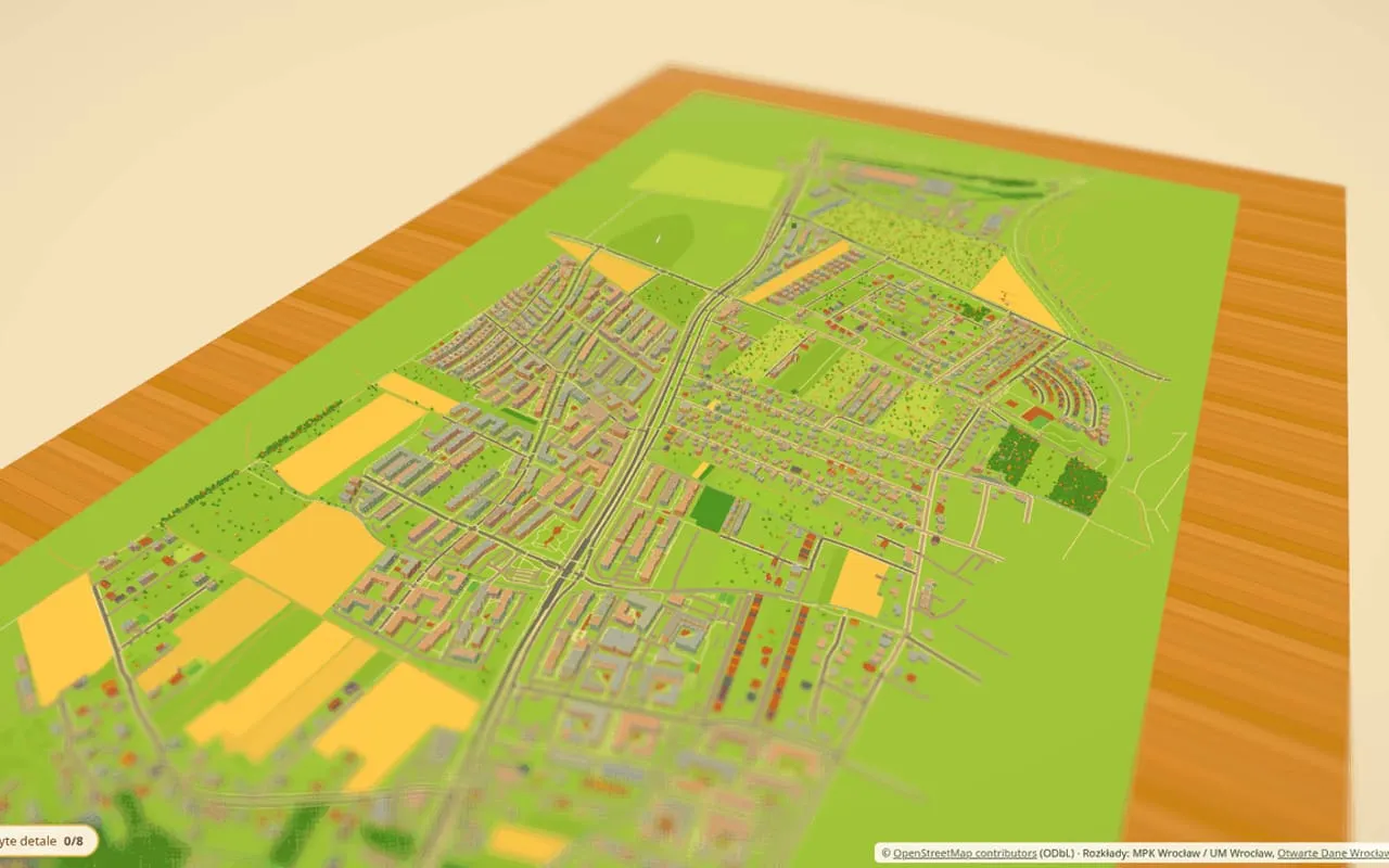
Built from OpenStreetMap data, with buses on the Wrocław transit timetable. You can fly a drone, start a downpour and see where the river floods.
A miniature model of a Wrocław neighborhood in the browser, with buses running to the real timetable.
Open the projectBuilt from OpenStreetMap data, with buses on the Wrocław transit timetable. You can fly a drone, start a downpour and see where the river floods.