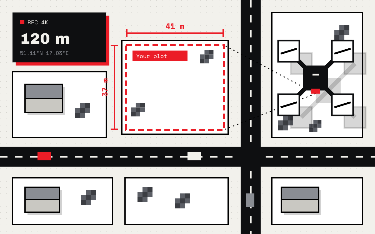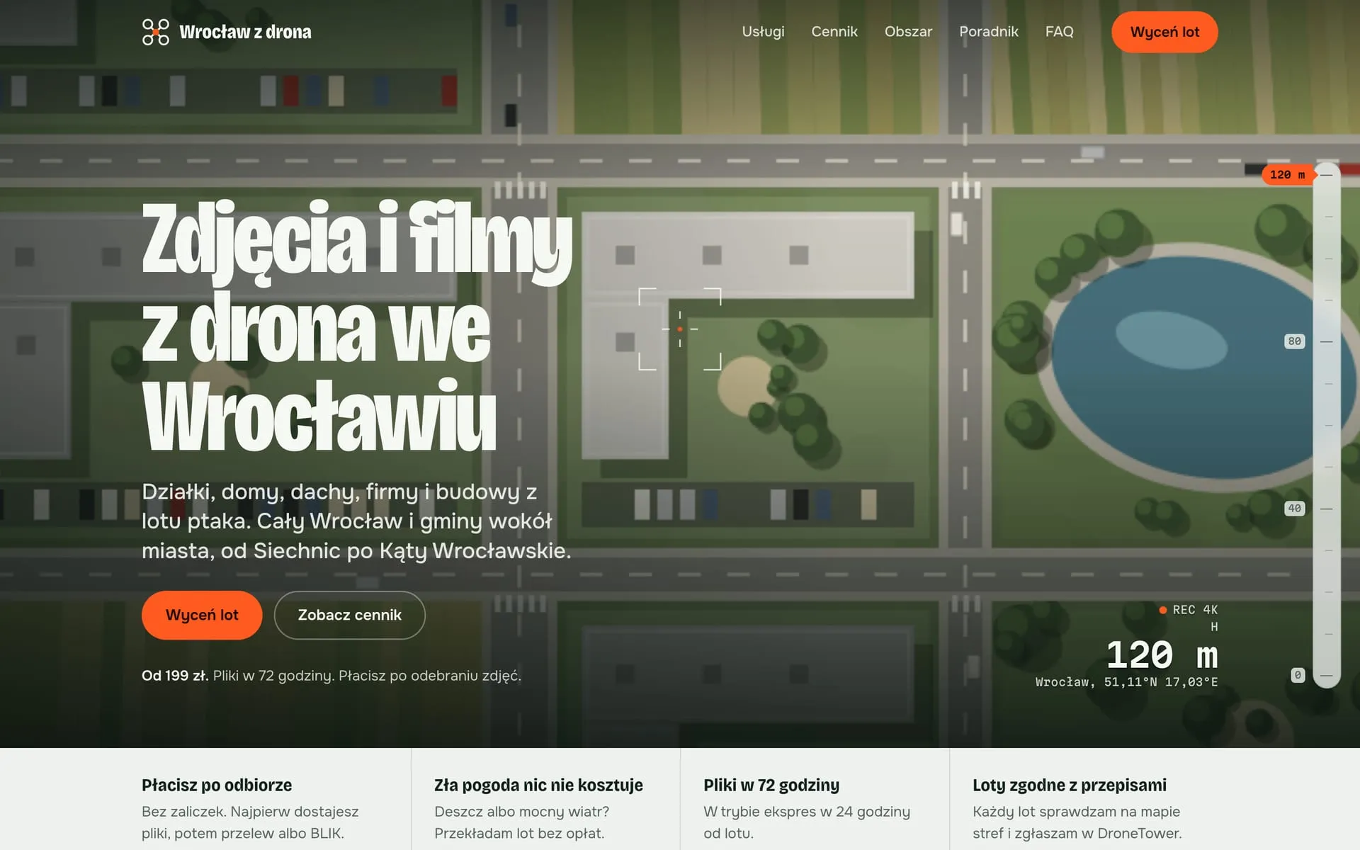
A drone photography site in Wrocław. The quote updates live, the flight area is split by district and the guide answers questions people ask Google.
What it is
A website for drone photos and video in Wrocław and the surrounding towns. The hero section mimics a drone camera feed: altitude, coordinates and a recording marker. Below come three priced packages, the flight area, a guide, questions and answers, and a quote form. The site itself is in Polish, for local customers.
What I did
- A two-step quote. The customer picks a package, extras and the location, and the price updates live before they leave their contact details.
- Local SEO from day one. Wrocław districts and nearby towns are named, the business details sit in
LocalBusiness, and the questions inFAQPage. - A guide with articles on flight prices, plot photos and roof inspections, which is what people look up before ordering.
- A light site on Cloudflare that opens fast on a phone, because that is where most local service enquiries come from.
What the client gets
Someone looking for drone photos of a plot sees the price, the turnaround time and whether a flight in their area is possible right away. The form collects everything needed for a quote, so the conversation starts with the date, not with questions about price.